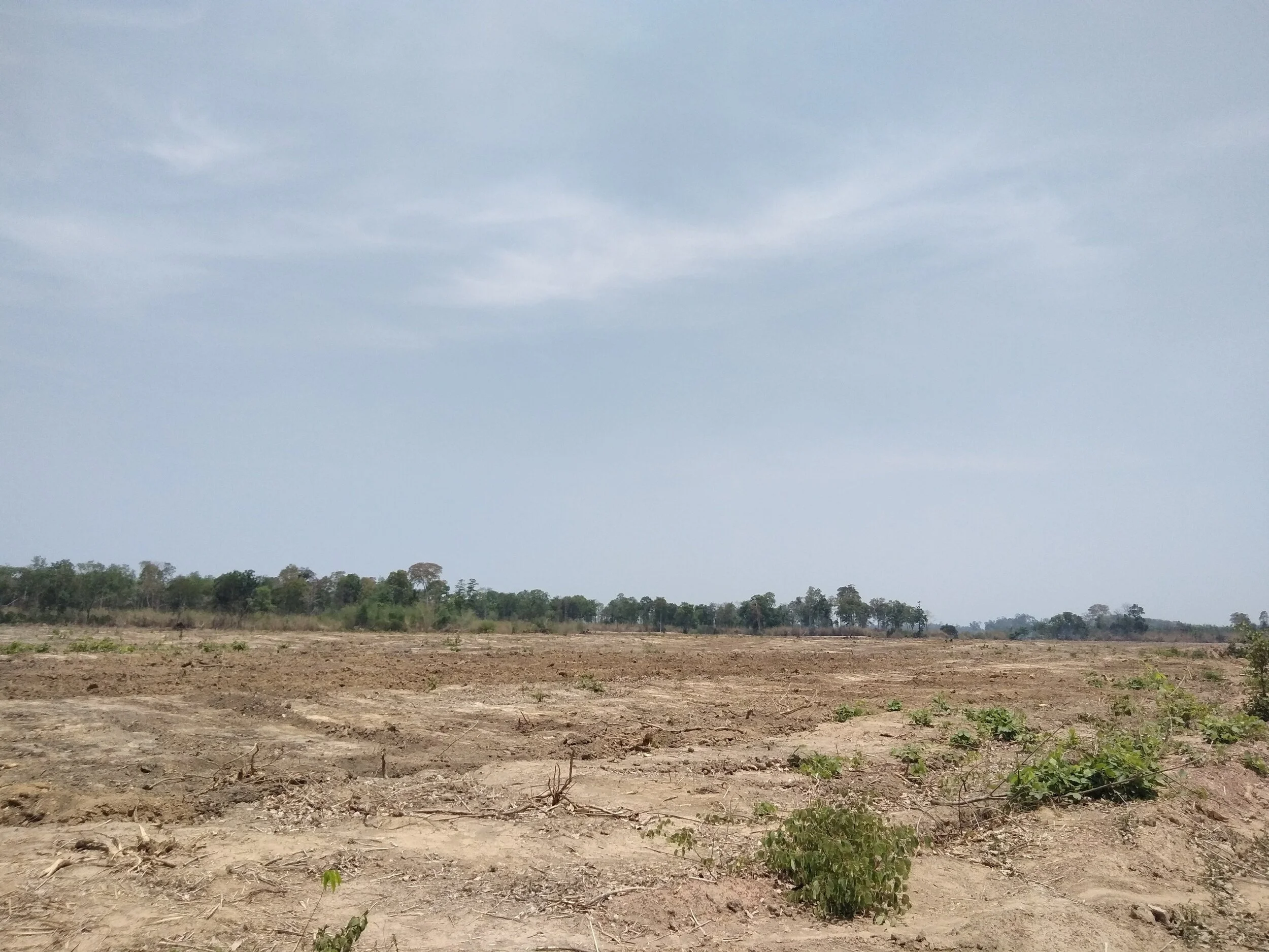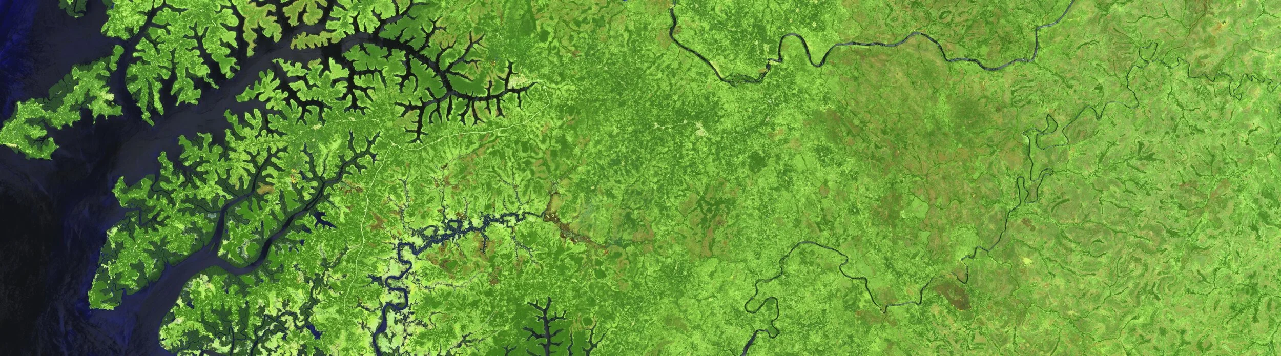
Local intelligence
We work closely with communities to understand how they are experiencing environmental or social impact through a range of data collection methods, including media analysis, participatory mapping, semi-automated data collection, and/or interviews.
This helps guide satellite data analysis and identify specific areas of interest and/or concern. Local insights on land use and changes over time are invaluable in really understanding the evolution of a given area or landscape.